viaEuropa
High quality maps and location data, ready when you need it
viaEuropa
High quality maps and location data, ready when you need it
viaEuropa is the award-winning hosted map and API platform from Europa Technologies. It delivers high quality, fully maintained, digital maps and location data directly to your web applications, desktop GIS and mobile apps. Use viaEuropa to drive location intelligent solutions quickly, easily and efficiently.
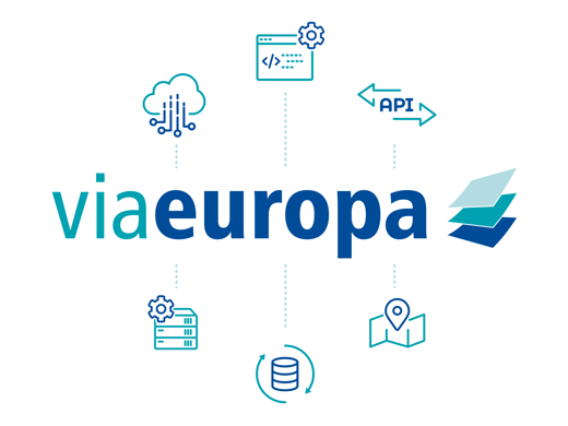

viaEuropa Maps & API
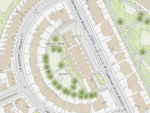
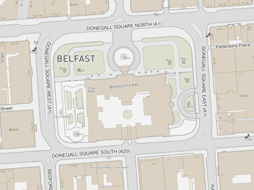
viaEuropa delivers beautiful maps directly to your web and desktop applications. From small scale, strategic global maps to the most detailed hyper-local maps of the United Kingdom, viaEuropa can provide access to a broad range of open/premium data content. In addition to a comprehensive range of base maps, the service supports overlays for layers such as demographics and risk/peril maps (e.g. flood, subsidence & crime).
The viaEuropa API provides high-performance access to a variety of location data content, including property-level address search using OS AddressBase and AddressHub. It uses a REST interface which can be easily integrated with web applications and mobile apps. The API service is lightning fast and supports parallel queries to power efficient work flows and process automation.
NEW! Now available as an on-premises solution: viaEuropa Prime
Works with your software
By using industry standards and best practice, viaEuropa is compatible with a wide range of GIS software, web mapping APIs and mobile app frameworks. With support for both commercial and open source software, the service can provide your organisation with quality maps and location data for all platforms used in your organisation.
- Esri ArcGIS Desktop / Pro
- Esri ArcGIS Online / Enterprise / Portal
- MapInfo Pro
- Pitney Bowes Spectrum Spatial Analyst
- CADCORP SIS
- Tableau
- Google Maps
- Microsoft Bing Maps
- Esri ArcGIS JavaScript API
- OpenLayers
- Leaflet
- Mapbox GL
- MapLibre

viaEuropa content
viaEuropa is compatible with virtually any source of digital map data. The service already includes support for nearly all Ordnance Survey products including OS OpenData™, OS 25k/50k Raster, OS VectorMap™ Local and OS MasterMap® Topo. It also supports Ordnance Survey Northern Ireland (OSNI) data, including OSNI Fusion, thereby providing a complete, consistent and definitive mapping service with full United Kingdom coverage. viaEuropa Time Machine supports access to historical Ordnance Survey raster content, including 25k, 50k, 250k and MiniScale, for every quarter since Q1/2017.
In addition to definitive OS/OSNI base maps, the service includes support for other content, including flood data from JBA Risk Management, subsidence from British Geological Survey (BGS), addressing from Royal Mail, demographics from Michael Bauer International and marine data from OceanWise.


Ideal for UK public sector
In rapidly changing times, the UK public sector faces many new challenges. Digital transformation has been widely recognised as a key to increase operational efficiency, drive innovation and achieve better outcomes. Organisations can use location intelligence at every stage of their digital transformation, to uncover hidden insights in their data assets.
viaEuropa is ideal for UK public sector organisations who wish to optimise their data entitlement under the Public Sector Geospatial Agreement (PSGA), Aerial Photography Great Britain (APGB) agreement, or Northern Ireland Mapping Agreement (NIMA). With no throttling or blocking, the service provides a flexible and reliable platform on which to build both internal and citizen-facing applications.
Available on G-Cloud
G-Cloud is a procurement framework accessed through the UK Government’s Digital Marketplace and operated by the Crown Commercial Service. It allows UK-based public sector organisations to buy cloud-based services faster and cheaper than would be possible by entering into individual procurement contracts. A range of viaEuropa services are available on the latest iteration of the framework, G-Cloud 13.


Visit the viaEuropa Knowledgebase
Web services using Open Geospatial Consortium (OGC) standards provide many benefits. viaEuropa supports WMTS, WFS and cached WMS and can be accessed by any software compatible with these protocols. REST-based API access provides ultra-fast search and look-up capabilities with results provided in convenient JSON, GeoJSON or XML formats.
For technical information on how you can utilise this innovative service, please visit the viaEuropa Knowledgebase.
Award-winning service
viaEuropa has been recognised in a number of prestigious awards, including:
WINNER – OS MasterMap Award for Better Mapping, British Cartographic Society Awards
SECOND PLACE – Best Use of Technology, Thames Valley Magazine Business Awards
FINALIST – Digital Leaders 100 Awards 2022 – Geospatial Innovation of the Year


A reliable service, tailored to you
viaEuropa hosted services are designed to meet a wide range of needs from public sector and non-commercial users through to private sector businesses; for individual desktop users, departmental intranets, public web-based applications and even enterprise use. Backed by a Service Level Agreement (SLA) with 99.9% availability guarantee, we offer a flexible range of service levels differentiated by utilisation and deployment method.
viaEuropa had a perfect 100% service up-time in 2021, 2022 and 2023, with an impressive 99.999% over the past five years.
Related products

viaEuropa Prime
viaEuropa Prime is an on-premises version of the award-winning viaEuropa platform. Utilising your own network infrastructure, viaEuropa Prime can drive location intelligence solutions privately, securely and locally.
viaEuropa Prime is a fully bespoke solution which can host selected services locally, where they will not be impacted by Internet service outages or degradation. Optionally, the service can be backed by the hosted viaEuropa service to provide a resilient hybrid-cloud model for the delivery of high-quality maps and location data though OGC compliant services and easy-to-use REST APIs.
How can we help you?
Ask an expert…
Do get in touch if you would like more details about viaEuropa (technical, licensing, pricing, etc.) or would like to arrange a personalised demo. Our product specialists will be happy to provide you with a free consultation.

