Land & Property
Unique insight where location matters most
Land & Property
Unique insight where location matters most
The challenges for the land and property sector are far-reaching. The industry is at the sharp end of any economic or political change and with a wider range of risk and return, it is critical that every opportunity is evaluated with detailed insight, at every stage.

Harness property intelligence
Property intelligence supports digital transformation in the property sector. For both commercial and residential properties, a wide variety of data is available which can underpin critical decision-making, whilst reducing risk. This data covers categories such as construction, financial, environment, commerce, telecommunications, transportation, local government and neighbourhood demographics.
How can dependable property intelligence enrich your project analysis?
Simplify site maps
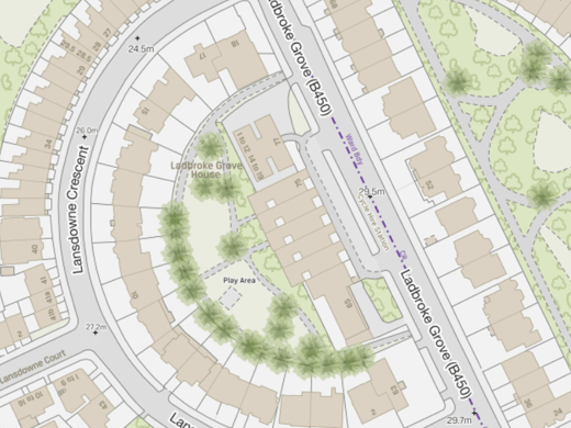
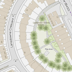
The best site and location maps are created from the best large-scale map data. Through our partnerships with Ordnance Survey (OS) and Ordnance Survey Northern Ireland (OSNI), we can access the most detailed mapping available for the United Kingdom. Large scale maps have many uses including planning applications, asset management and achieving sustainability targets. They are also ideal for visualising data from sensors and IoT devices. We can map everything from smart buildings to smart cities.


Support infrastructure projects
There are so many critical success factors in infrastructure projects and Geographical Information Systems (GIS) often plays an important role. The lifeblood of GIS capabilities is a reliable supply of high-quality data, delivered on time and in the right data format. This allows detailed levels of evidence to be assessed throughout the project lifecycle. Europa Technologies is a trusted partner for the provision of premium data and already supplies notable infrastructure projects in the United Kingdom.
Explore market potential
Location, location, location is a familiar mantra in the property industry. If you need information where location is key, such as finding postcodes with high property-value growth or daytime population, we can provide data services to meet your needs. Discover neighbourhoods with particular characteristics and explore what’s already there… from A to Z, architects to zoos, and everything in between. The intuitive power of maps combined with the analytical power of location intelligence, often reveals trends, patterns and opportunities that may not otherwise be perceived (even with local knowledge) and can help provide you with a competitive edge.

Location intelligence solutions for land & property
Location Insight
Location Insight offers a powerful yet intuitive means of visualising and analysing spatial data. Designed to provide a simple way to understand sophisticated spatial analytics, it allows organisations to better understand their customers, assets and markets, in a geographic context, thereby gaining a competitive or strategic advantage. Implemented as an online service, Location Insight can be integrated into your internal systems to provide a rich, seamless experience for your users.
viaEuropa
viaEuropa is the award-winning hosted map and API platform from Europa Technologies. It delivers high quality, fully maintained, digital maps and geodata directly to your web applications, desktop GIS and mobile apps. Use viaEuropa to drive location intelligent solutions quickly, easily and efficiently.
viaEuropa supports a variety of high-quality content from Ordnance Survey, Ordnance Survey Northern Ireland, Bluesky International, Government of Jersey, JBA Risk Management, British Geological Survey, MB International and OceanWise.
Europa Data Vault
Europa Data Vault is a managed data delivery platform supporting OS data products, including OS MasterMap, VectorMap Local and AddressBase. The service delivers the latest version of all key products included in the Public Sector Geospatial Agreement (PSGA). Data is available in a range of spatial data formats and delivered by secure download.
europaIQ
europaIQ offers valuable property intelligence data for Great Britain in a variety of pragmatic categories. Whether you are an owner, investor, developer or manager, europaIQ provides invaluable intelligence about properties and their surrounding area. For both commercial and residential properties, a wide variety of data is available which can meet challenges, improve decision-making and reduce risk.
EstateHub
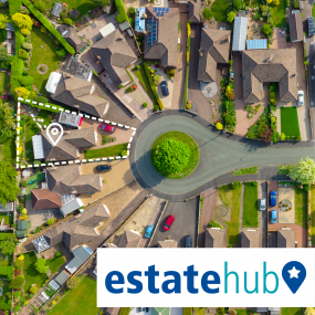
EstateHub is a land coverage product for England & Wales built upon the authoritative HM Land Registry National Polygon Service (NPS). It includes polygons defining all registered freehold and leasehold land parcels, including title number, property UPRNs, significantly enhanced with additional attributes which give depth and context to estate-based searches.
OS MasterMap Topo
The OS MasterMap Topography Layer, more commonly known as OS MasterMap Topo, is the most detailed and accurate view of Great Britain’s landscape – from roads and fields, to buildings, trees, fences, paths and more. In a business of any kind, OS MasterMap Topo will enable you to make assured location-based decisions about your assets, services, environmental risks, customers and operations.
OSNI Fusion
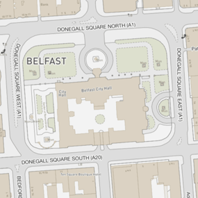
OSNI Fusion is the definitive large scale vector map for Northern Ireland and replaces OSNI Largescale. It consists of a more intuitive structure and contains 13 main themes, with the existing large scale feature types being held as attributes. In a business of any kind, OSNI Fusion gives you the confidence to make location-based decisions about assets, services, environmental risks, customers and operations.
How can we help you?
Do get in touch if you would like more details about Land & Property (technical, licensing, pricing, etc.) or would like to arrange a personalised demo. Our product specialists will be happy to provide you with a free consultation.


