Optimise FTTP Networks
Target precisely, plan efficiently, roll out successfully
Optimise FTTP Networks
Target precisely, plan efficiently, roll out successfully
In the roll out of Fibre To The Premises (FTTP) networks, it is critical that infrastructure is placed in locations which will provide an optimal return on investment. Using sophisticated demographics to pinpoint your audience, combined with detailed digital mapping and address databases, we can help you target, plan and roll out your network.

Optimise FTTP networks
The UK Government has set a target for gigabit broadband to be available nationwide by 2030. It has also pledged £5 billion in funding to enable the connectivity of previously inaccessible properties, most of which are in overlooked, rural areas.
Reliable and comprehensive location intelligence will present a clearer picture of your potential customers and the physical geography in your deployment area. This essential capability will help you target, plan, and deploy your FTTP network.
How can we help you optimise your FTTP network?
Compelling maps & address data
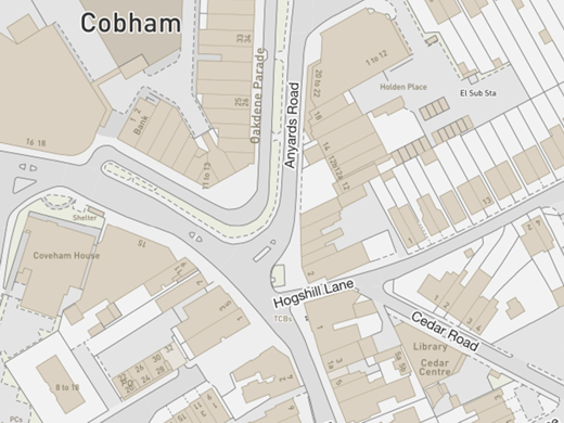
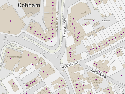
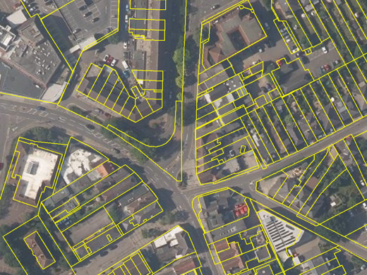
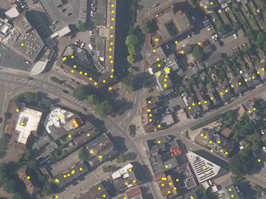
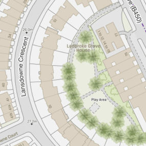
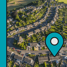
The combination of a large-scale base map, address databases, land coverage and aerial photography is a powerful resource which will help you deploy FTTP in a local area.
- OS MasterMap Topo – understand of terrain and infrastructure to aid in the routing and management of your network.
- OS AddressBase / AddressHub – analyse the precise location of potential customers (business and/or residential properties) and market your service offering directly.
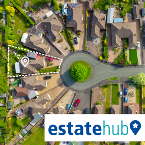
- EstateHub – Help identify landowners for approach with lease or wayleaving propositions using data derived from the authoritative HM Land Registry National Polygon Service (NPS).
- Bluesky Aerial Photography – Capture a current, real-world view.
For these key data products, we provide advice on optimal licensing and delivery of your area of interest in a wide variety of data formats.

On target with demographics
To deploy a successful FTTP network, it is imperative to identify the right customers in the right places. Whether you seek business or residential customers, our portfolio of demographic data can help zero-in on your target. We can also provide segmented consumer lifestyle and behavioural data, which will enable you to profile potential customers in a given area with increased insight. This can determine whether an entry-level or premium service would be most appropriate.
Our advanced range of demographics, purchasing power and customer profile products will add valuable intelligence to your decision-making process.
Available through viaEuropa
Demographics, detailed digital mapping and comprehensive address databases, plus many other data products supporting FTTP network deployment, are available through viaEuropa – the award-winning hosted map and API platform from Europa Technologies.
viaEuropa delivers high quality, fully maintained, digital maps and location data directly to your web applications, desktop GIS and mobile apps. Use viaEuropa to drive location intelligent solutions quickly, easily and efficiently.

Relevant products & services
OS MasterMap Topo
The OS MasterMap Topography Layer, more commonly known as OS MasterMap Topo, is the most detailed and accurate view of Great Britain’s landscape – from roads and fields, to buildings, trees, fences, paths and more. In a business of any kind, OS MasterMap Topo will enable you to make assured location-based decisions about your assets, services, environmental risks, customers and operations.
AddressHub
AddressHub is an address product for Great Britain built upon definitive Royal Mail Postcode Address File (PAF®) data, enhanced with UPRN (Unique Property Reference Number), coordinates and other valuable attributes. Designed to deliver a cost-effective addressing capability to organisations of any size, AddressHub opens the door to connect databases from multiple sources. Search, locate and identify addresses with ease and precision.
EstateHub
EstateHub is a land coverage product for England & Wales built upon the authoritative HM Land Registry National Polygon Service (NPS). It includes polygons defining all registered freehold and leasehold land parcels, including title number, property UPRNs, significantly enhanced with additional attributes which give depth and context to estate-based searches.
Demographics
Demographic data presents the latest population and household figures, population by age (5 x 15-year age bands) and sex, as well as the number of unemployed. If the demand for your product or service is dependent on these variables, this data will be fundamental to planning your operations. It can be used to improve customer targeting and help identify market opportunities by geographic area.
viaEuropa
viaEuropa is the award-winning hosted map and API platform from Europa Technologies. It delivers high quality, fully maintained, digital maps and geodata directly to your web applications, desktop GIS and mobile apps. Use viaEuropa to drive location intelligent solutions quickly, easily and efficiently.
viaEuropa supports a variety of high-quality content from Ordnance Survey, Ordnance Survey Northern Ireland, Bluesky International, Government of Jersey, JBA Risk Management, British Geological Survey, MB International and OceanWise.
How can we help you?
Do get in touch if you would like more details about how we can help you optimise FTTP networks. Our specialists will be happy to provide you with a free consultation.


