Bluesky Aerial Photography
Fly high with unrivalled views of Great Britain and Ireland
Bluesky Aerial Photography
Fly high with unrivalled views of Great Britain and Ireland
Bluesky Aerial Photography provides you with a current, real-world view across Great Britain and Ireland. With an exceptional focus on quality, accuracy and consistency, this product can support location intelligence applications across a variety of disciplines.
Bluesky Aerial Photography
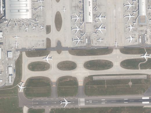
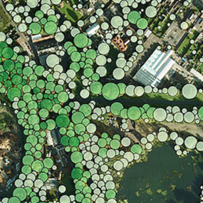
While large-scale topographic maps are an excellent resource for location intelligence applications, sometimes it is better to use a real-world view. Now more than ever, aerial photography is part of everyday life through online mapping portals and extensive use in both printed and digital media.
Bluesky Aerial Photography provides crisp, clear and detailed views of Great Britain and Ireland. It is the most accurate, current and highest resolution imagery available. It can play a vital role across a variety of disciplines, including environmental management, policy implementation, planning, enforcement and network analysis.
How can aerial photography boost your location intelligence applications?
Quality, accuracy and consistency
Using the latest capture technologies, Bluesky Aerial Photography is updated on a continuous three-year rolling update cycle.
This ortho-processed imagery has a national resolution of 12.5cm for urban areas and an incredible 5cm for selected cities. The product is conveniently supplied in 1km squares and is available in all common GIS raster data formats.
Also available in the Bluesky portfolio are colour infrared imagery, Digital Terrain Model (DTM), Digital Surface Model (DSM) and the National Tree Map.
You can be confident that Bluesky Aerial Photography will effectively underpin your location data across a variety of location intelligence applications.


Take a closer look
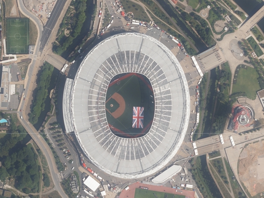
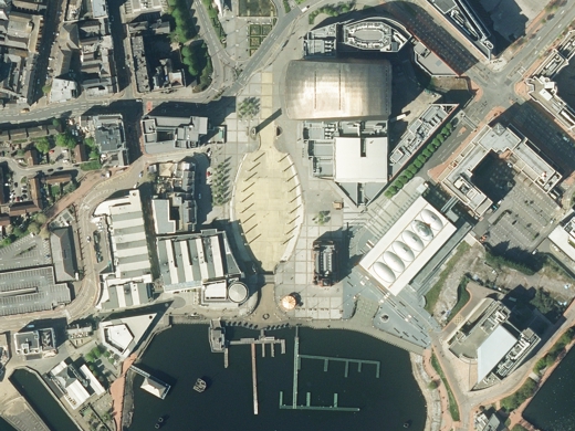
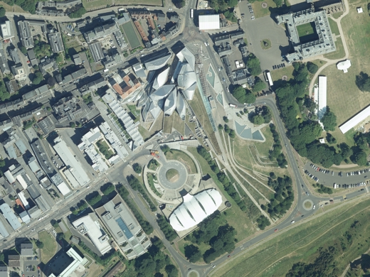
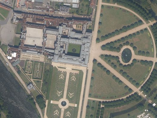
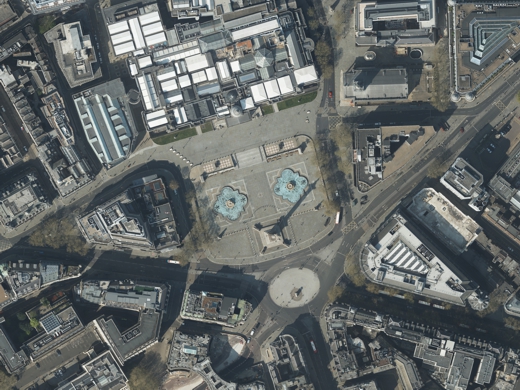
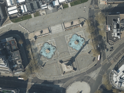
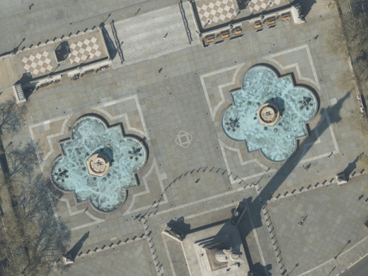
The ultra-high resolution 5cm Bluesky Aerial Photography offers a superb level of detail and is invaluable for operational decision making in both public sector and commercial organisations. It can reveal features not even found in large-scale topographic maps, such as road markings, street furniture and tree canopies.
Bluesky Aerial Photography with 5cm resolution is available for select cities, including: Birmingham, Bournemouth, Brighton & Hove, Bristol, Cambridge, Cardiff, Coventry, Derby, Doncaster, Eastbourne, Kingston Upon Hull, Leicester, London (Central & North), Newcastle Upon Tyne, Norwich, Nottingham, Oxford, Salford and Southend. Further coverage is planned.
Available through viaEuropa
Bluesky Aerial Photography is available through viaEuropa – the award-winning hosted map and API platform from Europa Technologies.
viaEuropa delivers high quality, fully maintained, digital maps and location data directly to your web applications, desktop GIS and mobile apps. Use viaEuropa to drive location intelligent solutions quickly, easily and efficiently.
viaEuropa offers Bluesky Aerial Photography as a WMTS and WMS service, with coverage information available through a WFS service.

Related products
National Tree Map
The National Tree Map™ is the foremost environmental database of its kind. With coverage across Great Britain and Ireland, it contains the location, height and canopy/crown extents for trees 3m and above in height. The National Tree Map can used to meet challenges in a broad range of applications.
Free data life support
All data products supplied by Europa Technologies include free, world-class, lifetime support.
Got a technical issue or licensing question? No problem – we’re just a call or an e-mail away.
Arrange your digital map licensing through us with the assurance of great value from your data investment.

How can we help you?
Ask an expert…
Do get in touch if you would like more details about Bluesky Aerial Photography (technical, licensing, pricing, etc.) or would like to arrange a personalised demo. Our product specialists will be happy to provide you with a free consultation.

