Postcodes for the
United Kingdom
Postcodes for the
United Kingdom
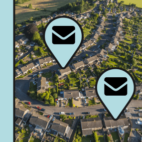
Postcodes, or zipcodes, are an important tool for geographic planning in the United Kingdom. Originally developed to streamline postal delivery, postcodes are now commonly referred to as “the new geography”. They have evolved to become an integral part of the business planning process.

Postcodes for the United Kingdom
Postcodes are a simple but convenient way to locate customers, assets, competitors – in fact, anything with an address. Enriching your address data with coordinates is a process known as geocoding and is the first step in adding location intelligence to your data assets located in the United Kingdom.
Postcode centroids (centre points) are suitable for coarse-level searches and geocoding, while postcode regions (polygons) can be highly effective for visualisation purposes.
We provide Postcode Sectors for the United Kingdom, as both centroids and regions, with seamless transitions across borders with neighbouring countries. The data is available in all common GIS data formats.
 United Kingdom Postcodes
United Kingdom Postcode Products
OS Code-Point products
OS Code-Point products precisely locate 1.7 million postcode units in Great Britain and Northern Ireland, either as points or polygons. Ideal for direct marketers, Code-Point Products help you maximise your response rates by targeting customers in the best postcodes for your offering.
AddressHub
AddressHub is an address product for Great Britain built upon definitive Royal Mail Postcode Address File (PAF®) data, enhanced with UPRN (Unique Property Reference Number), coordinates and other valuable attributes. Designed to deliver a cost-effective addressing capability to organisations of any size, AddressHub opens the door to connect databases from multiple sources. Search, locate and identify addresses with ease and precision.
Data Formats & Delivery
Postcodes/Zipcodes map data is available in the following popular GIS formats:
- Esri Shapefile
- Esri File GeoDatabase
- MapInfo TAB (Extended)
All data products are delivered using our secure data delivery platform, Europa Data Vault.

Related products for the United Kingdom
Extend your market insight into the United Kingdom with these compatible add-on products. Ask about special pricing for map data bundles.
Free data life support
All data products supplied by Europa Technologies include free, world-class, lifetime support.
Got a technical issue or licensing question? No problem – we’re just a call or an e-mail away.
Arrange your digital map licensing through us with the assurance of great value from your data investment.
How can we help you?
Ask an expert…
Do get in touch if you would like more details about UK Postcodes (technical, licensing, pricing, etc.) or would like to arrange a personalised demo. Our product specialists will be happy to provide you with a free consultation.


