Regions & Boundaries
map data for the Philippines
Regions & Boundaries
map data for the Philippines
Regions and Boundaries map data for the Philippines helps you display and analyse key factors geographically. They can easily be matched and enriched with your own data or supplemented with statistics such as demographics, purchasing power and consumer profiles.

Regions & Boundaries map data for the Philippines
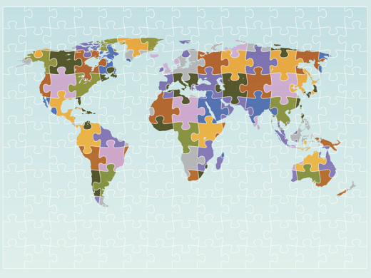
Regions & Boundaries map data provides a geographic breakdown of the Philippines for visualisation and analysis purposes. Using GIS or mapping software, colours can be assigned to these regions to form a thematic map, also known as a choropleth map. Thematic maps are visually powerful and a simple but effective way to communicate a variable (e.g. sales figures) across a geographic area. Regions can be political/administrative, postcode or small areas often connected with a census. With seamless transitions across borders with neighbouring countries, this data product is ideal for international projects.
Further enabling geographic analysis, Regions & Boundaries for the Philippines can also be supplemented with statistics such as socio-demographics, purchasing power and consumer profiles. This product is available in a number of popular GIS data formats.
 Philippines – Barangays
Product details
| Regions & Boundaries map data for the Philippines | |||
|---|---|---|---|
| Administrative | Postcode | Small Area | |
| Available | |||
| Region Type | Municipalities and Cities | Barangays | |
| Number of Regions | 1,633 | 42,017 | |
| Average Population/Region | 67,000 | 2,600 | |
Looking beyond the Philippines? Regions & Boundaries map data is available for a wide range of countries…
Data formats & delivery
Regions & Boundaries map data for the Philippines is available in many popular GIS formats, including:
- Esri Shapefile
- Esri File GeoDatabase
- MapInfo TAB (Extended)
All data products are delivered using our secure data delivery platform, Europa Data Vault.

Related products for the Philippines
Extend your market insight into the Philippines with these compatible add-on products. Ask about special pricing for map data bundles.
Demographics
Get to know your audience in terms of number of households, population figures by sex and age band plus the number of unemployed.
Purchasing Power
Understand disposable income by tiered area with this key indicator for effective location and sales territory planning.
Consumer Profiles
An innovative, comprehensive ten-segment model for effective market investigation and identification of your target audience.
Free data life support
All data products supplied by Europa Technologies include free, world-class, lifetime support.
Got a technical issue or licensing question? No problem – we’re just a call or an e-mail away.
Arrange your digital map licensing through us with the assurance of great value from your data investment.
How can we help you?
Ask an expert…
Do get in touch if you would like more details about Regions & Boundaries map data for the Philippines (technical, licensing, pricing, etc.) or would like to arrange a personalised demo. Our product specialists will be happy to provide you with a free consultation.


 Philippines – Barangays

