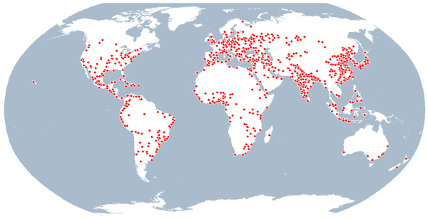
Global 1000 Atlas
for Colombia
Global 1000 Atlas
for Colombia
 Colombia – Quick facts
Highly populated places in Colombia
| Rank | Name | Administrative Region | Population |
|---|---|---|---|
| 261 | Barranquilla | Atlantico | 1,148,506 |
| 803 | Bello | Antioquia | 392,909 |
| 18 | BOGOTÁ | Distrito Capital de Bogotá | 7,332,788 |
| 535 | Bucaramanga | Santander | 608,102 |
| 110 | Cali | Valle del Cauca | 2,232,158 |
| 349 | Cartagena | Bolívar | 892,545 |
| 339 | Cúcuta | Norte de Santander | 918,942 |
| 782 | Ibagué | Tolima | 402,887 |
| 882 | Manizales | Caldas | 354,518 |
| 100 | Medellín | Antioquia | 2,450,078 |
| 896 | Neiva | Huila | 349,896 |
| 838 | Pasto | Narino | 375,477 |
| 723 | Pereira | Risaralda | 436,381 |
| 733 | Santa Marta | Magdalena | 429,887 |
| 919 | Soledad | Atlantico | 341,656 |
| 971 | Villavicencio | Meta | 321,549 |
About the Global 1000 Atlas
The Global 1000 Atlas is a map collection of the 1000 most populated places in the world. The atlas is published as a showcase which has been rendered from Global Discovery – a data product from Europa Technologies. These maps can be freely used for educational purposes, but commercial use is not permitted.

Using maps from the Global 1000 Atlas
Please feel free to link to this page. The map is provided as part of a product showcase and as an educational resource. It may be freely used for educational purposes (school projects, academic papers, etc.) as long as the copyright message (bottom-right corner) is retained and clearly visible. For educational purposes, you do not need to seek explicit permission for reproduction. If, however, you have a particularly interesting project, we would love to hear from you! Commercial use (whether revenue generating or not) is NOT permitted. In this case, please contact Europa Technologies for further information.
Made with Global Discovery
This map – part of a series of 1000 – was automatically generated from Global Discovery– a commercial geo-database from Europa Technologies. Global Discovery is a comprehensive digital atlas of the world and can be used with appropriate software to generate maps for any location on the planet. For further information on rendering site-centred maps for your organisation, please contact us.


 Colombia – Quick facts